InVEST - Sediment Delivery Ratio
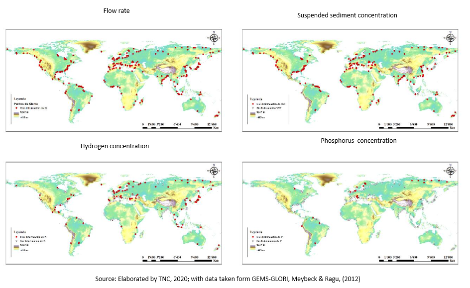
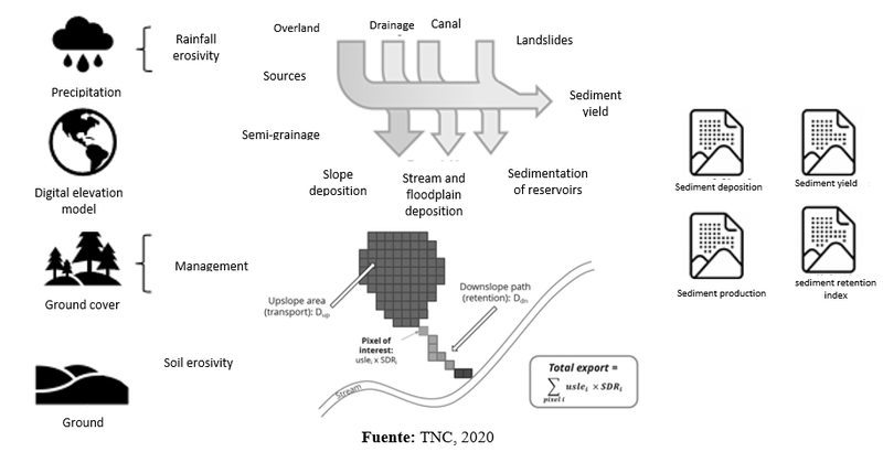
Erosion and retention of terrestrial sediments are natural processes that govern the concentration of sediment in streams. Sediment dynamics are mainly determined by climate (particularly rainfall intensity), soil properties, topography and vegetation; and anthropogenic factors such as agricultural activities or the construction and operation of dams. Major sources of sediment include land erosion (detached and transported soil particles by rain and overland flow), gullies (channels that concentrate flow), bank erosion, and massive erosion (or landslides; see Merrit 2003 for a review). Sinks include deposition on slopes, floodplains or in the river, and retention of reservoirs.
The magnitude of this effect is mainly governed by: i) the main sources of sediment (the change in land use will have a lesser effect in the basins where the sediments do not come mainly from surface flow); and ii) the spatial distribution of sediment sources and sinks (e.g., land use change will have less effect if sediment sources are buffered by vegetation).
InVest service analyzes the sediment load delivered to the stream on an annual time scale, as well as the amount of sediment eroded in the basin and retained by vegetation and topographic features.
For each pixel, the model estimates the amount of soil lost annually using the university soil loss equation (USLE); the proportion of sediment that is delivered to a channel and the proportion of soil that is retained before reaching a stream. Figure 1 presents the diagram of the information requirements that the model needs, the processes it considers and the results it generates.