InVEST - Seasonal Water Yield
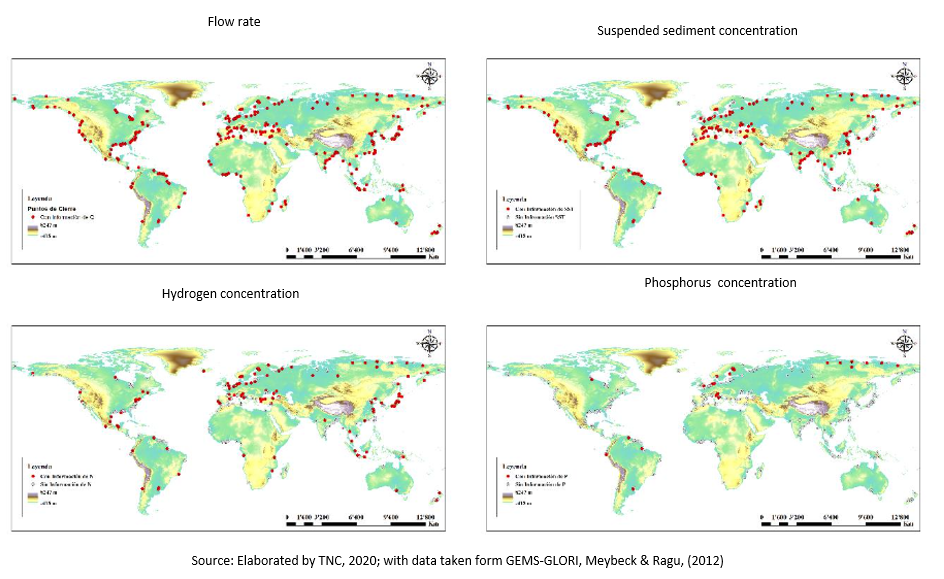
A common goal of watershed management programs is to ensure water supply, especially during the dry season. To develop such programs in contexts of low data and resource availability, program managers need tools to understand the effect of landscape management on the seasonal water balance.
InVest service provides an estimate of the total water yield for a basin, calculating spatial indices that quantify the relative contribution of a parcel of land to the generation of base flow and fast flow.
The contribution of a given plot to the flow of the stream depends on a number of environmental factors including climate, soil, vegetation, slope, and position along the flow path (which determines whether the pixel can receive water from the upslope or if the recharged water can be evapotranspired later on).
The Seasonal Water Yield is a spatially explicit model that allows estimating water contributions and base flow at the pixel level by solving the monthly-averaged mass conservation equation, as shown below:
Li = Pi − QFi − AETi
Where:
L Total recharge or contribution to base flow
P Precipitation
QF Runoff or rapid flow
Real annual AETEvapotranspiration
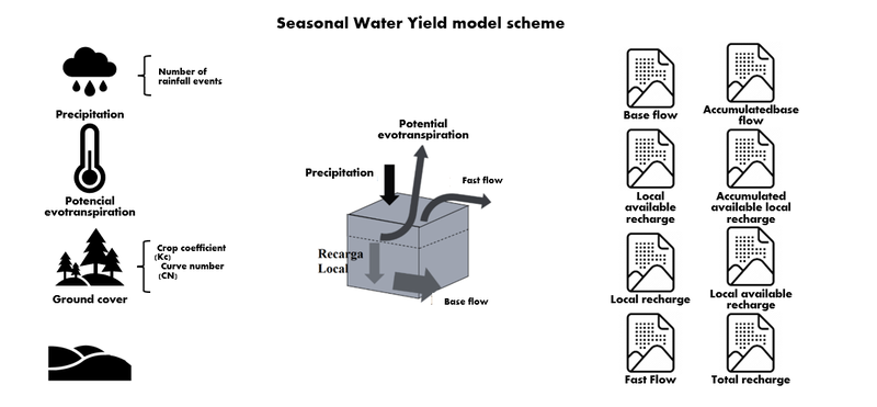
The model uses an approach based on the curve number (CN) method to estimate direct runoff or fast flow, while total recharge is estimated by solving the water balance at each pixel. This model considers the connectivity and the components of land use and cover, for which the recharge is influenced by variables such as vegetation factors and connectivity factors. Figure 1 presents the scheme of the information requirements that the model needs, the processes it considers and the results it generates.