Land or Ground Covers
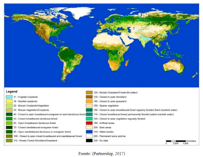
The "Cover" of the land is the (bio)physical coverage that is observed on the surface of the earth, where not only the vegetation and the anthropic elements existing on the earth are described, but also other land surfaces such as rocky outcrops and bodies of water (IDEAM, 2016).
For the delimitation of land covers, areas are delimited that arises from an analysis of the physiognomic and environmental characteristics, which can be differentiated with respect to the next unit [1].
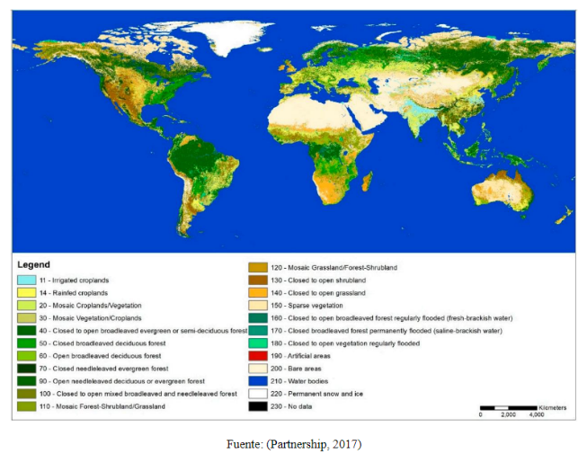
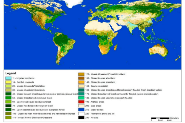
For WaterProof, the coverage generated by the European Space Agency ESA under the CCI-LC project are the best option to use since they deliver global coverage maps at a spatial resolution of 300 m annually from 1992 to 2015 (the database being most up to date of all).
Something very interesting that makes this database stand out is that the land cover classification scheme was based on LCCS (Land Cover Classification System) with 22 global classes (the highest classification of all land cover databases found). The validation process of this database contains 2,190 samples collected and labeled from 16 international experts based on the LCCS classification scheme (Congalton et al., 2014).